Moretonhampstead: path to Mardon Down
Introduction
The photograph on this page of Moretonhampstead: path to Mardon Down by Martin Bodman as part of the Geograph project.
The Geograph project started in 2005 with the aim of publishing, organising and preserving representative images for every square kilometre of Great Britain, Ireland and the Isle of Man.

There are currently over 7.5m images from over 14,400 individuals and you can help contribute to the project by visiting https://www.geograph.org.uk
Moretonhampstead: path to Mardon Down
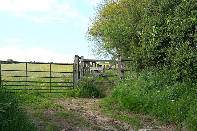
Image: © Martin Bodman Taken: 24 May 2009
Seen from the lane – later a public footpath – linking North Kingwell and Moretonhampstead town
Images are licensed for reuse under creativecommons.org/licenses/by-sa/2.0
Image Location
Latitude
50.6647
Longitude
-3.747124