Camberwell Green
Introduction
The photograph on this page of Camberwell Green by PAUL FARMER as part of the Geograph project.
The Geograph project started in 2005 with the aim of publishing, organising and preserving representative images for every square kilometre of Great Britain, Ireland and the Isle of Man.

There are currently over 7.5m images from over 14,400 individuals and you can help contribute to the project by visiting https://www.geograph.org.uk
Camberwell Green
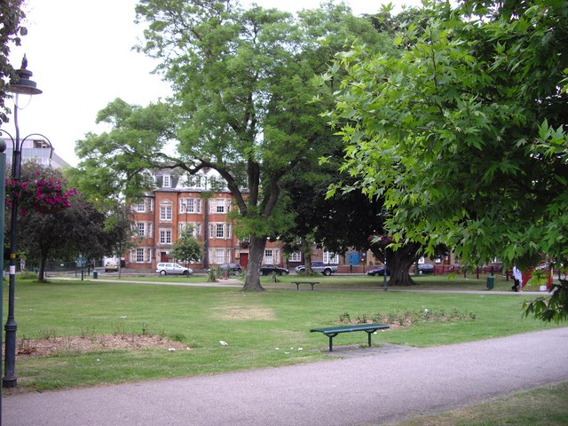
Image: © PAUL FARMER Taken: 25 May 2009
Looking toward D'Eynsford Road. The buildings to the left of the central tree are Brighton and Park Houses.
Images are licensed for reuse under creativecommons.org/licenses/by-sa/2.0
Image Location
Latitude
51.475354
Longitude
-0.092374