The building of Tescos Orpington (1)
Introduction
The photograph on this page of The building of Tescos Orpington (1) by Ian Capper as part of the Geograph project.
The Geograph project started in 2005 with the aim of publishing, organising and preserving representative images for every square kilometre of Great Britain, Ireland and the Isle of Man.

There are currently over 7.5m images from over 14,400 individuals and you can help contribute to the project by visiting https://www.geograph.org.uk
The building of Tescos Orpington (1)
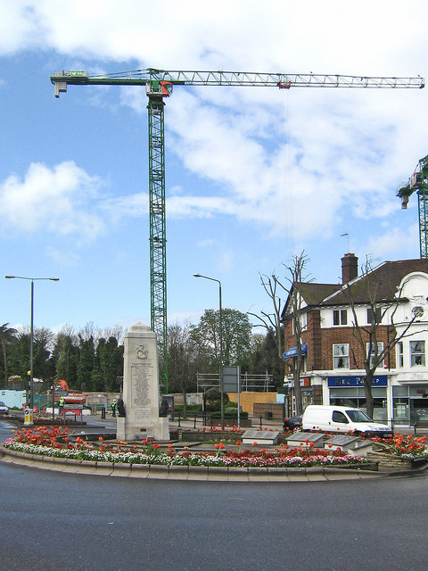
Image: © Ian Capper Taken: 24 Apr 2008
For the last two years, a large Tesco superstore has been under construction in central Orpington, near the War Memorial roundabout, replacing a multi-storey carpark (unfortunately with no photos on Geograph). This photo is of an early stage in the construction, with nothing visible above ground. For next photo in series, see Image
Images are licensed for reuse under creativecommons.org/licenses/by-sa/2.0
Image Location


Leaflet Map data © OpenStreetMap
Latitude
51.373382
Longitude
0.096753