Capital Ring Signpost
Introduction
The photograph on this page of Capital Ring Signpost by Martin Addison as part of the Geograph project.
The Geograph project started in 2005 with the aim of publishing, organising and preserving representative images for every square kilometre of Great Britain, Ireland and the Isle of Man.

There are currently over 7.5m images from over 14,400 individuals and you can help contribute to the project by visiting https://www.geograph.org.uk
Capital Ring Signpost
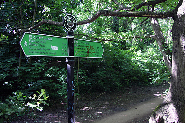
Image: © Martin Addison Taken: 22 May 2009
Giving distances to various points along the way. The furthest listed being Woolwich Foot Tunnel to the left at sixteen and a half miles and Richmond Bridge to the right at twenty-six and a half miles.
Images are licensed for reuse under creativecommons.org/licenses/by-sa/2.0
Image Location
Latitude
51.57501
Longitude
-0.127025