Llandrinio Methodist church
Introduction
The photograph on this page of Llandrinio Methodist church by John Firth as part of the Geograph project.
The Geograph project started in 2005 with the aim of publishing, organising and preserving representative images for every square kilometre of Great Britain, Ireland and the Isle of Man.

There are currently over 7.5m images from over 14,400 individuals and you can help contribute to the project by visiting https://www.geograph.org.uk
Llandrinio Methodist church
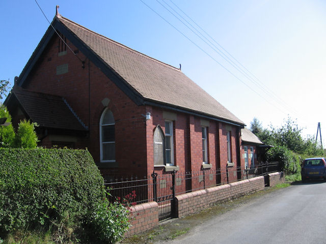
Image: © John Firth Taken: 24 May 2009
Llandrinio Methodist is situated some way from the village it serves.
Images are licensed for reuse under creativecommons.org/licenses/by-sa/2.0
Image Location
Latitude
52.755215
Longitude
-3.071372