Keatings Lane, Teignmouth
Introduction
The photograph on this page of Keatings Lane, Teignmouth by Robin Stott as part of the Geograph project.
The Geograph project started in 2005 with the aim of publishing, organising and preserving representative images for every square kilometre of Great Britain, Ireland and the Isle of Man.

There are currently over 7.5m images from over 14,400 individuals and you can help contribute to the project by visiting https://www.geograph.org.uk
Keatings Lane, Teignmouth
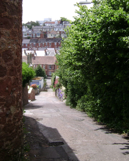
Image: © Robin Stott Taken: 19 May 2009
Looking down to First Avenue, with Second, Third, Fourth Avenues and Mill Lane stacked up behind, crowned by Modern Movement-inspired Teignmouth Hospital, built 1925.
Images are licensed for reuse under creativecommons.org/licenses/by-sa/2.0
Image Location


Leaflet Map data © OpenStreetMap
Latitude
50.548777
Longitude
-3.508801