Footpath to Highgate Station
Introduction
The photograph on this page of Footpath to Highgate Station by Martin Addison as part of the Geograph project.
The Geograph project started in 2005 with the aim of publishing, organising and preserving representative images for every square kilometre of Great Britain, Ireland and the Isle of Man.

There are currently over 7.5m images from over 14,400 individuals and you can help contribute to the project by visiting https://www.geograph.org.uk
Footpath to Highgate Station
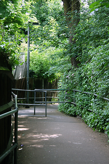
Image: © Martin Addison Taken: 22 May 2009
A steep winding path with handrails and regular barriers, such as the one seen here, along its length.
Images are licensed for reuse under creativecommons.org/licenses/by-sa/2.0
Image Location
Latitude
51.578186
Longitude
-0.145802