Stoke St. Michael: draughtsboard
Introduction
The photograph on this page of Stoke St. Michael: draughtsboard by Chris Downer as part of the Geograph project.
The Geograph project started in 2005 with the aim of publishing, organising and preserving representative images for every square kilometre of Great Britain, Ireland and the Isle of Man.

There are currently over 7.5m images from over 14,400 individuals and you can help contribute to the project by visiting https://www.geograph.org.uk
Stoke St. Michael: draughtsboard
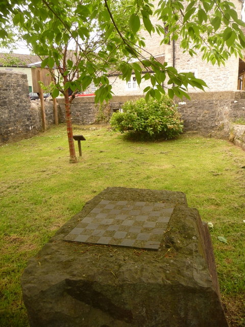
Image: © Chris Downer Taken: 23 May 2009
This draughtsboard is sculpted into a large stone on the Image
Images are licensed for reuse under creativecommons.org/licenses/by-sa/2.0
Image Location
Latitude
51.220216
Longitude
-2.481201