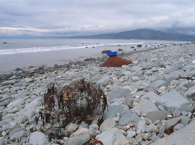
Flotsam, Llwyngwril shore
Introduction
The photograph on this page of Flotsam, Llwyngwril shore by E Gammie as part of the Geograph project.
The Geograph project started in 2005 with the aim of publishing, organising and preserving representative images for every square kilometre of Great Britain, Ireland and the Isle of Man.
There are currently over 7.5m images from over 14,400 individuals and you can help contribute to the project by visiting https://www.geograph.org.uk

Image: © E Gammie Taken: 15 May 2009
A roll of wire fencing and a ... err ... conical thing, pretty heavy duty metal and looks like it's been there a while. Barmouth rock (SH6115) in the distance. The time is 1331, high water at Barmouth was 1241.

