River Chess at Waterside, Chesham
Introduction
The photograph on this page of River Chess at Waterside, Chesham by Nigel Cox as part of the Geograph project.
The Geograph project started in 2005 with the aim of publishing, organising and preserving representative images for every square kilometre of Great Britain, Ireland and the Isle of Man.

There are currently over 7.5m images from over 14,400 individuals and you can help contribute to the project by visiting https://www.geograph.org.uk
River Chess at Waterside, Chesham
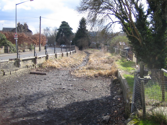
Image: © Nigel Cox Taken: 4 Mar 2006
The dry river bed of the Chess viewed looking downstream with Waterside road to the left.
Images are licensed for reuse under creativecommons.org/licenses/by-sa/2.0
Image Location
Latitude
51.697679
Longitude
-0.606572