Kingsdown Road, Teignmouth
Introduction
The photograph on this page of Kingsdown Road, Teignmouth by Robin Stott as part of the Geograph project.
The Geograph project started in 2005 with the aim of publishing, organising and preserving representative images for every square kilometre of Great Britain, Ireland and the Isle of Man.

There are currently over 7.5m images from over 14,400 individuals and you can help contribute to the project by visiting https://www.geograph.org.uk
Kingsdown Road, Teignmouth
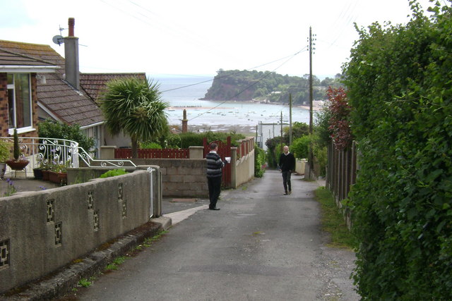
Image: © Robin Stott Taken: 19 May 2009
Once again, the Ness upstages the town. This is one of several roads in the area with streetnames and services, seemingly, but which raise a doubt as to whether they are adopted public highways. These two lads were delivering flyers. They were interested to hear about Geograph but disbelieving of my liking for the foreground here as well as the distance – the scruffy road, the wires, the assorted boundary treatments, the ad hoc nature of it all. I met them again hours later rounding the corner of Alexandra Terrace in Image We had all walked a long way.
Images are licensed for reuse under creativecommons.org/licenses/by-sa/2.0
Image Location
Latitude
50.549603
Longitude
-3.514473