The 'Flosh' & Lords Bridge, Buckingham
Introduction
The photograph on this page of The 'Flosh' & Lords Bridge, Buckingham by Mark R Dornan as part of the Geograph project.
The Geograph project started in 2005 with the aim of publishing, organising and preserving representative images for every square kilometre of Great Britain, Ireland and the Isle of Man.

There are currently over 7.5m images from over 14,400 individuals and you can help contribute to the project by visiting https://www.geograph.org.uk
The 'Flosh' & Lords Bridge, Buckingham
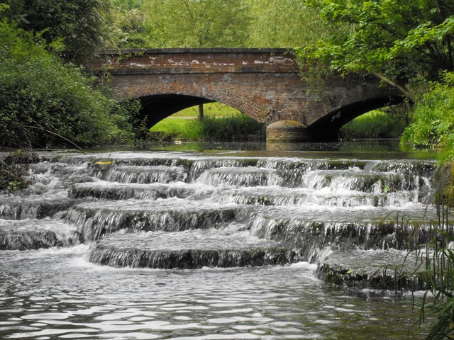
Image: © Mark R Dornan Taken: 23 May 2009
This weir on the River Ouse is upstream of Town Mill. The road crossing the Lords Bridge is Hunter Street which leads to the 'prebend end beyond the water'. The weir and mill are within Buckingham University's Hunter Street campus and the mill has been renamed Tanlaw Mill.
Images are licensed for reuse under creativecommons.org/licenses/by-sa/2.0
Image Location
Latitude
51.993834
Longitude
-0.992106