Roxburgh Church
Introduction
The photograph on this page of Roxburgh Church by James Denham as part of the Geograph project.
The Geograph project started in 2005 with the aim of publishing, organising and preserving representative images for every square kilometre of Great Britain, Ireland and the Isle of Man.

There are currently over 7.5m images from over 14,400 individuals and you can help contribute to the project by visiting https://www.geograph.org.uk
Roxburgh Church
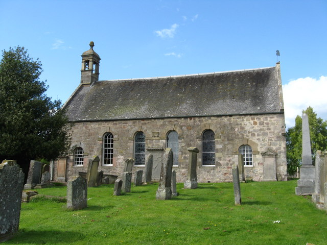
Image: © James Denham Taken: 22 May 2009
A 18th century kirk, improved and extended in the 19th century.
Images are licensed for reuse under creativecommons.org/licenses/by-sa/2.0
Image Location


Leaflet Map data © OpenStreetMap
Latitude
55.568864
Longitude
-2.476013