Newburgh: the Foveran Burn
Introduction
The photograph on this page of Newburgh: the Foveran Burn by Martyn Gorman as part of the Geograph project.
The Geograph project started in 2005 with the aim of publishing, organising and preserving representative images for every square kilometre of Great Britain, Ireland and the Isle of Man.

There are currently over 7.5m images from over 14,400 individuals and you can help contribute to the project by visiting https://www.geograph.org.uk
Newburgh: the Foveran Burn
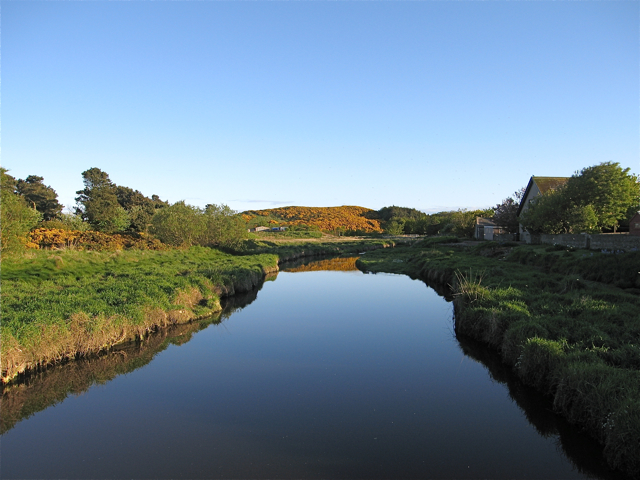
Image: © Martyn Gorman Taken: 22 May 2009
A tranquil evening on the Foveran Burn near to where it flows into the River Ythan. The gorse covered hill is Gallows Hill; every village worth its salt had a gallows!
Images are licensed for reuse under creativecommons.org/licenses/by-sa/2.0
Image Location
Latitude
57.317363
Longitude
-2.003305