Parish Church of Newton-in-Makerfield Emmanuel, Wargrave, Graveyard
Introduction
The photograph on this page of Parish Church of Newton-in-Makerfield Emmanuel, Wargrave, Graveyard by Alexander P Kapp as part of the Geograph project.
The Geograph project started in 2005 with the aim of publishing, organising and preserving representative images for every square kilometre of Great Britain, Ireland and the Isle of Man.

There are currently over 7.5m images from over 14,400 individuals and you can help contribute to the project by visiting https://www.geograph.org.uk
Parish Church of Newton-in-Makerfield Emmanuel, Wargrave, Graveyard
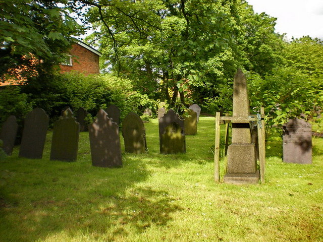
Image: © Alexander P Kapp Taken: 19 May 2009
There are still some gravestones still standing, even after the majority of then have been used to pave the paths
Images are licensed for reuse under creativecommons.org/licenses/by-sa/2.0
Image Location
Latitude
53.445529
Longitude
-2.626889