Disused railway line near Darton
Introduction
The photograph on this page of Disused railway line near Darton by Chris Yeates as part of the Geograph project.
The Geograph project started in 2005 with the aim of publishing, organising and preserving representative images for every square kilometre of Great Britain, Ireland and the Isle of Man.

There are currently over 7.5m images from over 14,400 individuals and you can help contribute to the project by visiting https://www.geograph.org.uk
Disused railway line near Darton
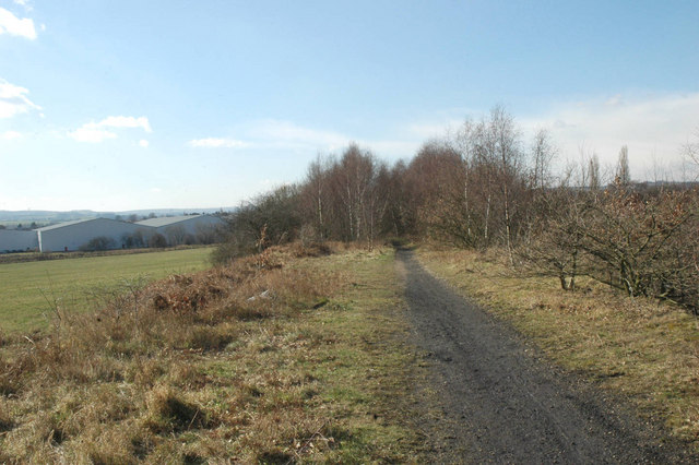
Image: © Chris Yeates Taken: 3 Mar 2006
An old colliery line; large areas of the landscape in this region have been shaped by the now-gone coal industry, nature is slowly reclaiming them.
Images are licensed for reuse under creativecommons.org/licenses/by-sa/2.0
Image Location
Latitude
53.583824
Longitude
-1.519624