Former Barton tip
Introduction
The photograph on this page of Former Barton tip by Derek Harper as part of the Geograph project.
The Geograph project started in 2005 with the aim of publishing, organising and preserving representative images for every square kilometre of Great Britain, Ireland and the Isle of Man.

There are currently over 7.5m images from over 14,400 individuals and you can help contribute to the project by visiting https://www.geograph.org.uk
Former Barton tip
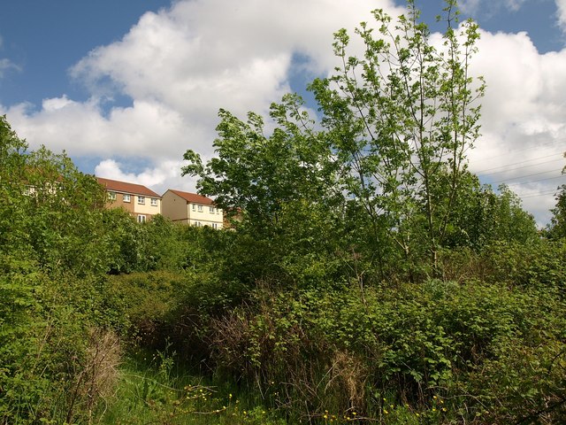
Image: © Derek Harper Taken: 19 May 2009
The path described in Image makes its way between brambles and young trees. Behind are dwellings on Skye Close.
Images are licensed for reuse under creativecommons.org/licenses/by-sa/2.0
Image Location
Latitude
50.490676
Longitude
-3.550088