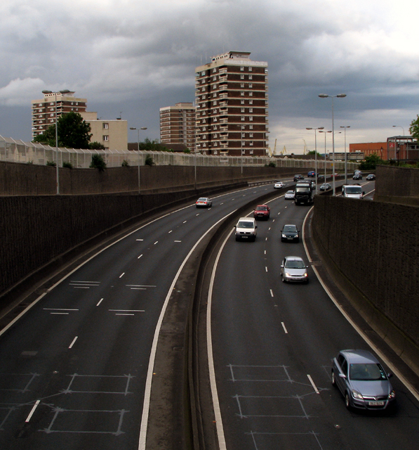
Westlink, Belfast
Introduction
The photograph on this page of Westlink, Belfast by Rossographer as part of the Geograph project.
The Geograph project started in 2005 with the aim of publishing, organising and preserving representative images for every square kilometre of Great Britain, Ireland and the Isle of Man.
There are currently over 7.5m images from over 14,400 individuals and you can help contribute to the project by visiting https://www.geograph.org.uk

Image: © Rossographer Taken: 21 May 2009
The eastern edge of the A12 'Westlink' as viewed from Clifton Street. The tower blocks behind are in the New Lodge area. Normally extremely busy throughout weekdays the road is a major throughpass which skirts the western edge of Belfast city centre and connects the M1 motorway with the M2, M3 & M5. This picture was taken at a relatively quiet period in the early evening. See http://en.wikipedia.org/wiki/Westlink_Belfast for more information on the road itself.

