Borstal Village and Fort Borstal
Introduction
The photograph on this page of Borstal Village and Fort Borstal by Penny Mayes as part of the Geograph project.
The Geograph project started in 2005 with the aim of publishing, organising and preserving representative images for every square kilometre of Great Britain, Ireland and the Isle of Man.

There are currently over 7.5m images from over 14,400 individuals and you can help contribute to the project by visiting https://www.geograph.org.uk
Borstal Village and Fort Borstal
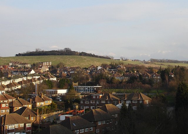
Image: © Penny Mayes Taken: 3 Mar 2006
Seen from the Medway bridge looking SE. Borstal Manor Community School is visible mid-picture, the fort is the tree covered area on the top of the hill (in TQ7366) and beyond it, to the right is the original Borstal Young Offenders Institution.
Images are licensed for reuse under creativecommons.org/licenses/by-sa/2.0
Image Location
Latitude
51.373093
Longitude
0.479841