Poldice valley near Unity Wood
Introduction
The photograph on this page of Poldice valley near Unity Wood by Derek Harper as part of the Geograph project.
The Geograph project started in 2005 with the aim of publishing, organising and preserving representative images for every square kilometre of Great Britain, Ireland and the Isle of Man.

There are currently over 7.5m images from over 14,400 individuals and you can help contribute to the project by visiting https://www.geograph.org.uk
Poldice valley near Unity Wood
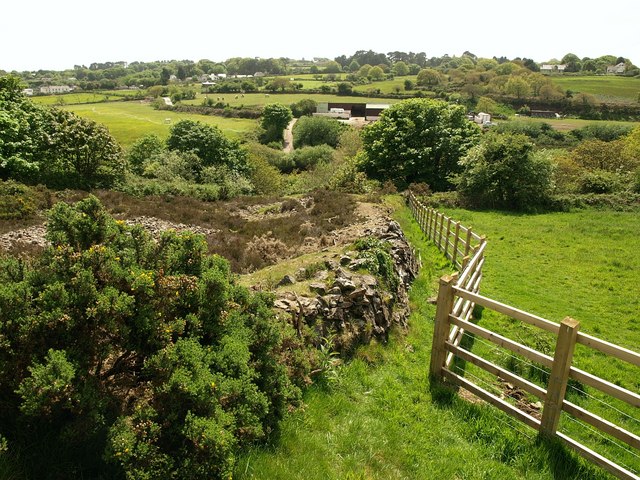
Image: © Derek Harper Taken: 18 May 2009
The wall in the foreground borders waste from Image, and this is just southwest of Image A path beside the fence allows access past the engine houses between Image and bridleway 301/13/2, which drops along the other side of the waste heap to meet byway 301/13/2 in the valley at the southern edge of Unity Wood (right). The nearest buildings across the valley are on the site of West Poldice Mine.
Images are licensed for reuse under creativecommons.org/licenses/by-sa/2.0
Image Location
Latitude
50.247078
Longitude
-5.178309