The Site Of The Old Barns Of Ayr
Introduction
The photograph on this page of The Site Of The Old Barns Of Ayr by Mary and Angus Hogg as part of the Geograph project.
The Geograph project started in 2005 with the aim of publishing, organising and preserving representative images for every square kilometre of Great Britain, Ireland and the Isle of Man.

There are currently over 7.5m images from over 14,400 individuals and you can help contribute to the project by visiting https://www.geograph.org.uk
The Site Of The Old Barns Of Ayr
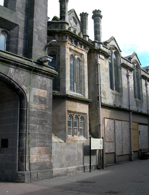
Image: © Mary and Angus Hogg Taken: 20 May 2009
The Wallace Tower building at the junction of Ayr's High Street and Mill Street. This is the site of the town barns that William Wallace burned, killing all the English soldiers inside, after an act of betrayal earlier that day. For more information, see Image
Images are licensed for reuse under creativecommons.org/licenses/by-sa/2.0
Image Location
Latitude
55.462026
Longitude
-4.62914