Trenance Road
Introduction
The photograph on this page of Trenance Road by Derek Harper as part of the Geograph project.
The Geograph project started in 2005 with the aim of publishing, organising and preserving representative images for every square kilometre of Great Britain, Ireland and the Isle of Man.

There are currently over 7.5m images from over 14,400 individuals and you can help contribute to the project by visiting https://www.geograph.org.uk
Trenance Road
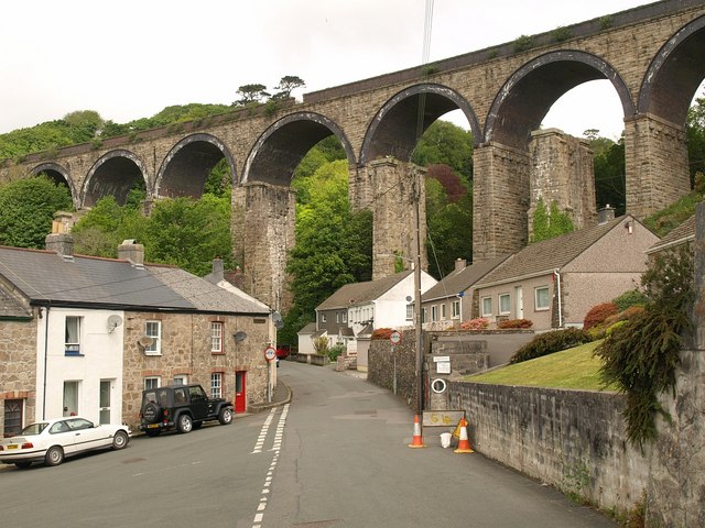
Image: © Derek Harper Taken: 18 May 2009
The junction with Grover Road (left). Dominating the scene is the Trenance Viaduct, carrying the main railway line to Penzance, and with the piers of an earlier 1850s viaduct alongside. The later viaduct dates from 1899.
Images are licensed for reuse under creativecommons.org/licenses/by-sa/2.0
Image Location
Latitude
50.341959
Longitude
-4.79809