Trenance Road
Introduction
The photograph on this page of Trenance Road by Derek Harper as part of the Geograph project.
The Geograph project started in 2005 with the aim of publishing, organising and preserving representative images for every square kilometre of Great Britain, Ireland and the Isle of Man.

There are currently over 7.5m images from over 14,400 individuals and you can help contribute to the project by visiting https://www.geograph.org.uk
Trenance Road
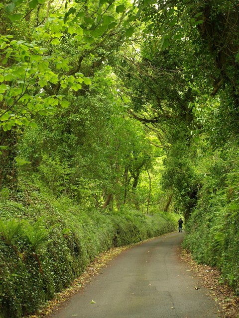
Image: © Derek Harper Taken: 18 May 2009
A very green lane climbing above Image up the northern slopes of the Gover Stream valley.
Images are licensed for reuse under creativecommons.org/licenses/by-sa/2.0
Image Location
Latitude
50.343942
Longitude
-4.805376