Playground, St Austell
Introduction
The photograph on this page of Playground, St Austell by Derek Harper as part of the Geograph project.
The Geograph project started in 2005 with the aim of publishing, organising and preserving representative images for every square kilometre of Great Britain, Ireland and the Isle of Man.

There are currently over 7.5m images from over 14,400 individuals and you can help contribute to the project by visiting https://www.geograph.org.uk
Playground, St Austell
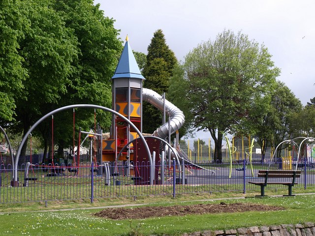
Image: © Derek Harper Taken: 18 May 2009
A distinctive helter skelter style tubular slide with a 25 foot high tower at the newly redeveloped Poltair Park, seen from across Carlyon Road.
Images are licensed for reuse under creativecommons.org/licenses/by-sa/2.0
Image Location
Latitude
50.339637
Longitude
-4.786147