Goathill Road
Introduction
The photograph on this page of Goathill Road by Stephen Branley as part of the Geograph project.
The Geograph project started in 2005 with the aim of publishing, organising and preserving representative images for every square kilometre of Great Britain, Ireland and the Isle of Man.

There are currently over 7.5m images from over 14,400 individuals and you can help contribute to the project by visiting https://www.geograph.org.uk
Goathill Road
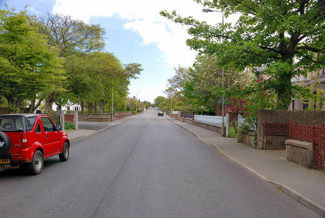
Image: © Stephen Branley Taken: 19 May 2009
Goathill Road, the Beverley Hills of Stornoway, runs off Matheson Road, behind me, for nearly half a mile up to Anderson road. The first junction on the left is Goathill Crescent.
Images are licensed for reuse under creativecommons.org/licenses/by-sa/2.0
Image Location
Latitude
58.211709
Longitude
-6.380987