Bells Road
Introduction
The photograph on this page of Bells Road by Stephen Branley as part of the Geograph project.
The Geograph project started in 2005 with the aim of publishing, organising and preserving representative images for every square kilometre of Great Britain, Ireland and the Isle of Man.

There are currently over 7.5m images from over 14,400 individuals and you can help contribute to the project by visiting https://www.geograph.org.uk
Bells Road
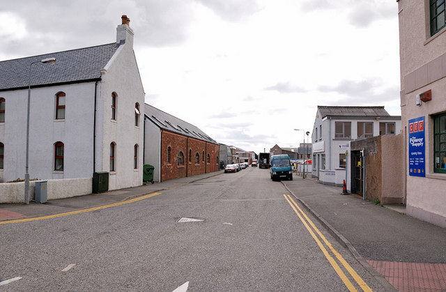
Image: © Stephen Branley Taken: 19 May 2009
Viewed from the junction of James Street with the HIE building on the left and Tesco out of view behind the white building on the right.
Images are licensed for reuse under creativecommons.org/licenses/by-sa/2.0
Image Location
Latitude
58.207505
Longitude
-6.382939