London Colney: Napsbury Park: Siding Way
Introduction
The photograph on this page of London Colney: Napsbury Park: Siding Way by Nigel Cox as part of the Geograph project.
The Geograph project started in 2005 with the aim of publishing, organising and preserving representative images for every square kilometre of Great Britain, Ireland and the Isle of Man.

There are currently over 7.5m images from over 14,400 individuals and you can help contribute to the project by visiting https://www.geograph.org.uk
London Colney: Napsbury Park: Siding Way
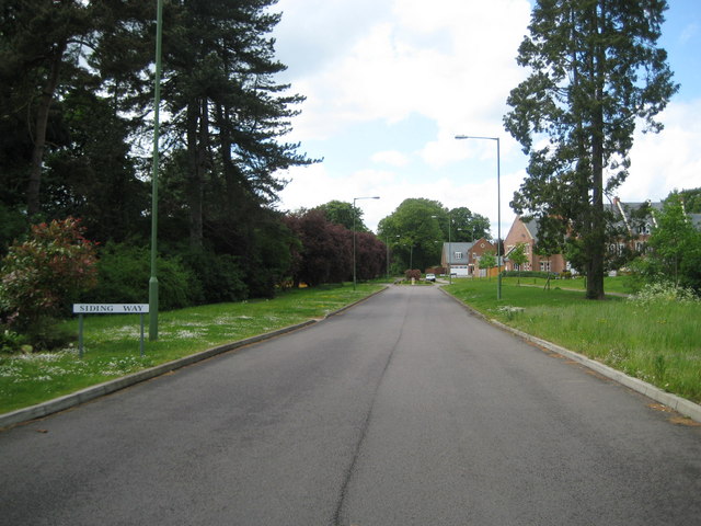
Image: © Nigel Cox Taken: 19 May 2009
Napsbury Park was the site of the former Napsbury Hospital, formerly called the Middlesex County Mental Hospital, which was built in 1905. Most of these large institutional hospitals had isolation hospital annexes and a railway connection for the transfer of patients and for bringing supplies in. Napsbury was no exception and a siding left the site of the former Napsbury station on the Midland Railway's main line coming down this route towards the Hospital. It was known, unsurprisingly, as the Napsbury Siding, hence the name of today's road. When it was dismantled I do not know but Napsbury station is shown in use, and the siding existing, on the 1940s Ordnance Survey Popular Map.
Images are licensed for reuse under creativecommons.org/licenses/by-sa/2.0
Image Location
Latitude
51.723151
Longitude
-0.313475