Pasture on Chapel Hill
Introduction
The photograph on this page of Pasture on Chapel Hill by Rod Allday as part of the Geograph project.
The Geograph project started in 2005 with the aim of publishing, organising and preserving representative images for every square kilometre of Great Britain, Ireland and the Isle of Man.

There are currently over 7.5m images from over 14,400 individuals and you can help contribute to the project by visiting https://www.geograph.org.uk
Pasture on Chapel Hill
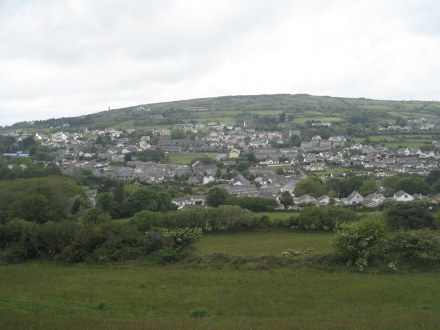
Image: © Rod Allday Taken: 20 May 2009
Looking across the village of Lanner towards Carn Marth. On the skyline to the left can be seen the chimney of Baronet's engine house Image
Images are licensed for reuse under creativecommons.org/licenses/by-sa/2.0
Image Location
Latitude
50.212022
Longitude
-5.203454