
Baa
Introduction
The photograph on this page of Baa by Penny Mayes as part of the Geograph project.
The Geograph project started in 2005 with the aim of publishing, organising and preserving representative images for every square kilometre of Great Britain, Ireland and the Isle of Man.

There are currently over 7.5m images from over 14,400 individuals and you can help contribute to the project by visiting https://www.geograph.org.uk
Baa
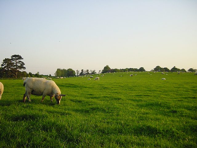
Image: © Penny Mayes Taken: 27 May 2005
Much of the land between Dully Road and Rodmersham Church Street is sheep pasture. It used to be orchards too - traditionally Kent farmers kept sheep and just happened to grow fruit trees on their pasture. They sold the crop on the tree for others to pick and sell. Then came cheap imported fruit and subsidies for farmers who uprooted their orchards. It leaves little shade for the sheep on a hot day though. The building at the top of the hill is Scuttington Manor.
Images are licensed for reuse under creativecommons.org/licenses/by-sa/2.0
Image Location

Latitude
51.316228
Longitude
0.773568