Livestock, Higher Woodway Road (2)
Introduction
The photograph on this page of Livestock, Higher Woodway Road (2) by Robin Stott as part of the Geograph project.
The Geograph project started in 2005 with the aim of publishing, organising and preserving representative images for every square kilometre of Great Britain, Ireland and the Isle of Man.

There are currently over 7.5m images from over 14,400 individuals and you can help contribute to the project by visiting https://www.geograph.org.uk
Livestock, Higher Woodway Road (2)
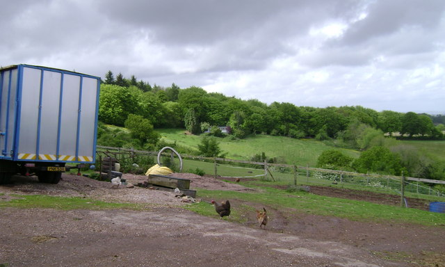
Image: © Robin Stott Taken: 17 May 2009
That could be a horsebox but it doesn't say so. No horses in sight. Chickens have bags of room. Across the field in the trees is Holcombe Down Road, the back way to Dawlish from the A380.
Images are licensed for reuse under creativecommons.org/licenses/by-sa/2.0
Image Location


Leaflet Map data © OpenStreetMap
Latitude
50.564188
Longitude
-3.499409