Burley: Chapel Lane crosses Mill Lawn Brook
Introduction
The photograph on this page of Burley: Chapel Lane crosses Mill Lawn Brook by Chris Downer as part of the Geograph project.
The Geograph project started in 2005 with the aim of publishing, organising and preserving representative images for every square kilometre of Great Britain, Ireland and the Isle of Man.

There are currently over 7.5m images from over 14,400 individuals and you can help contribute to the project by visiting https://www.geograph.org.uk
Burley: Chapel Lane crosses Mill Lawn Brook
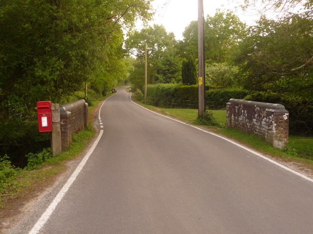
Image: © Chris Downer Taken: 18 May 2009
Looking along Chapel Lane from its northern end, where it becomes Lyndhurst Road (behind camera). This small bridge carries it over Mill Lawn Brook, while on the left we see Image
Images are licensed for reuse under creativecommons.org/licenses/by-sa/2.0
Image Location
Latitude
50.834044
Longitude
-1.691378