Castle Pill
Introduction
The photograph on this page of Castle Pill by Robin Lucas as part of the Geograph project.
The Geograph project started in 2005 with the aim of publishing, organising and preserving representative images for every square kilometre of Great Britain, Ireland and the Isle of Man.

There are currently over 7.5m images from over 14,400 individuals and you can help contribute to the project by visiting https://www.geograph.org.uk
Castle Pill
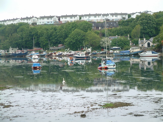
Image: © Robin Lucas Taken: 15 May 2009
Low tide at Castle Pill reveals a shallow muddy estuary. This view is from the eastern end of Black Bridge.
Images are licensed for reuse under creativecommons.org/licenses/by-sa/2.0
Image Location
Latitude
51.712412
Longitude
-5.020614