Wendover Arm: The Disused Canal and Towpath West of Bridge No 7
Introduction
The photograph on this page of Wendover Arm: The Disused Canal and Towpath West of Bridge No 7 by Chris Reynolds as part of the Geograph project.
The Geograph project started in 2005 with the aim of publishing, organising and preserving representative images for every square kilometre of Great Britain, Ireland and the Isle of Man.

There are currently over 7.5m images from over 14,400 individuals and you can help contribute to the project by visiting https://www.geograph.org.uk
Wendover Arm: The Disused Canal and Towpath West of Bridge No 7
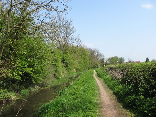
Image: © Chris Reynolds Taken: 19 Apr 2009
On the canal side the tall hedge is backed by a field at this point – but just round the bend in the distance a modern housing estate backs onto the disused canal. For instance see Image On the towpath side the hedge is vigorously trimmed – and a few years ago there were major engineering works on the other side of the hedge – when the water company laid a new pipeline from one of their pumping stations Image See Image
Images are licensed for reuse under creativecommons.org/licenses/by-sa/2.0
Image Location
Latitude
51.794904
Longitude
-0.711319