Coalash Lane
Introduction
The photograph on this page of Coalash Lane by Roger Gittins as part of the Geograph project.
The Geograph project started in 2005 with the aim of publishing, organising and preserving representative images for every square kilometre of Great Britain, Ireland and the Isle of Man.

There are currently over 7.5m images from over 14,400 individuals and you can help contribute to the project by visiting https://www.geograph.org.uk
Coalash Lane
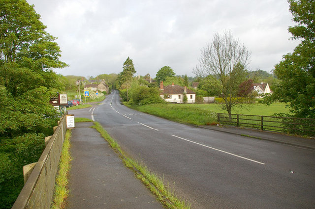
Image: © Roger Gittins Taken: 16 May 2009
This view of Coalash Lane, looking west, is taken from the bridge over the River Frome. Road junction on the left is to Lower Innox.
Images are licensed for reuse under creativecommons.org/licenses/by-sa/2.0
Image Location


Leaflet Map data © OpenStreetMap
Latitude
51.245289
Longitude
-2.329459