Rough pasture above Leadgate
Introduction
The photograph on this page of Rough pasture above Leadgate by Andrew Smith as part of the Geograph project.
The Geograph project started in 2005 with the aim of publishing, organising and preserving representative images for every square kilometre of Great Britain, Ireland and the Isle of Man.

There are currently over 7.5m images from over 14,400 individuals and you can help contribute to the project by visiting https://www.geograph.org.uk
Rough pasture above Leadgate
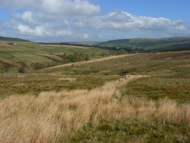
Image: © Andrew Smith Taken: 2 May 2009
With the valley of Black Burn to the left and the South Tyne ahead.
Images are licensed for reuse under creativecommons.org/licenses/by-sa/2.0
Image Location
Latitude
54.775617
Longitude
-2.466338