Hoford Rd
Introduction
The photograph on this page of Hoford Rd by Glyn Baker as part of the Geograph project.
The Geograph project started in 2005 with the aim of publishing, organising and preserving representative images for every square kilometre of Great Britain, Ireland and the Isle of Man.

There are currently over 7.5m images from over 14,400 individuals and you can help contribute to the project by visiting https://www.geograph.org.uk
Hoford Rd
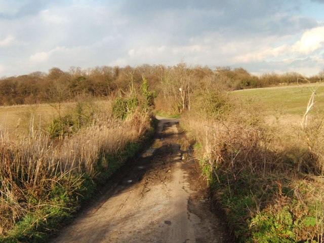
Image: © Glyn Baker Taken: 2 Mar 2006
This is Hoford Rd it runs between Mill House Farm and East Tilbury Rd north of Linford. It is now closed to motor vehicles (except farm traffic) and is designated as a cyclepath. The photo was taken looking northeast. See further up the road at Image
Images are licensed for reuse under creativecommons.org/licenses/by-sa/2.0
Image Location
Latitude
51.490951
Longitude
0.391152