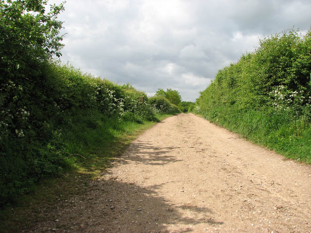
Gressenhall Farm - farm track
Introduction
The photograph on this page of Gressenhall Farm - farm track by Evelyn Simak as part of the Geograph project.
The Geograph project started in 2005 with the aim of publishing, organising and preserving representative images for every square kilometre of Great Britain, Ireland and the Isle of Man.
There are currently over 7.5m images from over 14,400 individuals and you can help contribute to the project by visiting https://www.geograph.org.uk

Image: © Evelyn Simak Taken: 18 May 2009
Gressenhall Farm > http://www.geograph.org.uk/photo/1309724 - it is marked as Union Farm on OS maps - forms part of the Museum of Norfolk Life which is housed in the former union workhouse > http://www.geograph.org.uk/photo/1309477 - http://www.geograph.org.uk/photo/1309516 - http://www.geograph.org.uk/photo/1309546 located across Gressenhall Road (in adjacent grid square to the north). Run as a traditional 1920s farm, rare breed animals can be seen grazing the pastures and Suffolk Punch horses are working the fields. The Suffolk Punch is one of the oldest breeds of working horse recorded in the UK, with a history that can be traced back to the 18th century. The pastures are grazed by Red Poll cattle - a naturally hornless breed originally kept for milk, meat and leather - and by Norfolk Horn sheep > http://www.geograph.org.uk/photo/1309786 which were almost extinct a few decades ago. Their wool once formed the basis of Norfolk’s medieval wealth. The farm also keeps Large Black pigs, goats and chickens. http://www.museums.norfolk.gov.uk/default.asp?Document=200.50.040

