Higher Shapter Street, Topsham [2]
Introduction
The photograph on this page of Higher Shapter Street, Topsham [2] by Robin Drayton as part of the Geograph project.
The Geograph project started in 2005 with the aim of publishing, organising and preserving representative images for every square kilometre of Great Britain, Ireland and the Isle of Man.

There are currently over 7.5m images from over 14,400 individuals and you can help contribute to the project by visiting https://www.geograph.org.uk
Higher Shapter Street, Topsham [2]
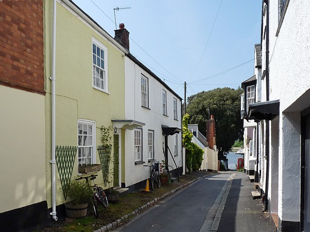
Image: © Robin Drayton Taken: 11 May 2009
Looking towards the River Exe. For the view from the end of the street see http://www.geograph.org.uk/photo/1302690 .
Images are licensed for reuse under creativecommons.org/licenses/by-sa/2.0
Image Location
Latitude
50.679769
Longitude
-3.46275