Farmland near Fossil Coppice
Introduction
The photograph on this page of Farmland near Fossil Coppice by Nigel Mykura as part of the Geograph project.
The Geograph project started in 2005 with the aim of publishing, organising and preserving representative images for every square kilometre of Great Britain, Ireland and the Isle of Man.

There are currently over 7.5m images from over 14,400 individuals and you can help contribute to the project by visiting https://www.geograph.org.uk
Farmland near Fossil Coppice
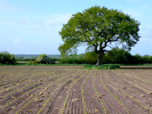
Image: © Nigel Mykura Taken: 16 May 2009
This tree is in a field of sprouting maize just north of the A352 close to West Fossil Farm
Images are licensed for reuse under creativecommons.org/licenses/by-sa/2.0
Image Location


Leaflet Map data © OpenStreetMap
Latitude
50.667639
Longitude
-2.289031