Road Junction west of Winfrith Newburgh
Introduction
The photograph on this page of Road Junction west of Winfrith Newburgh by Nigel Mykura as part of the Geograph project.
The Geograph project started in 2005 with the aim of publishing, organising and preserving representative images for every square kilometre of Great Britain, Ireland and the Isle of Man.

There are currently over 7.5m images from over 14,400 individuals and you can help contribute to the project by visiting https://www.geograph.org.uk
Road Junction west of Winfrith Newburgh
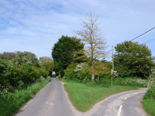
Image: © Nigel Mykura Taken: 16 May 2009
The road going off on the right which is more of a track and is marked on the map as being "other route with public access" has a signpost saying Claypits Farm.
Images are licensed for reuse under creativecommons.org/licenses/by-sa/2.0
Image Location
Latitude
50.663106
Longitude
-2.266648