The Mead
Introduction
The photograph on this page of The Mead by Phil Williams as part of the Geograph project.
The Geograph project started in 2005 with the aim of publishing, organising and preserving representative images for every square kilometre of Great Britain, Ireland and the Isle of Man.

There are currently over 7.5m images from over 14,400 individuals and you can help contribute to the project by visiting https://www.geograph.org.uk
The Mead
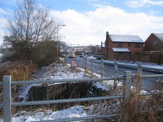
Image: © Phil Williams Taken: 28 Feb 2006
A view looking southeast along The Mead from the footpath leading to the new catchment pond, adjacent to the culvert carrying Bitham Brook under the road.
Images are licensed for reuse under creativecommons.org/licenses/by-sa/2.0
Image Location
Latitude
51.267907
Longitude
-2.184852