Hatherton Children's Centre
Introduction
The photograph on this page of Hatherton Children's Centre by John M as part of the Geograph project.
The Geograph project started in 2005 with the aim of publishing, organising and preserving representative images for every square kilometre of Great Britain, Ireland and the Isle of Man.

There are currently over 7.5m images from over 14,400 individuals and you can help contribute to the project by visiting https://www.geograph.org.uk
Hatherton Children's Centre
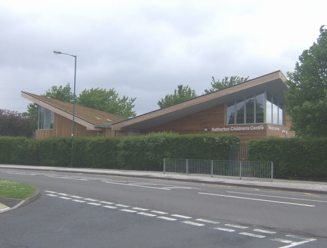
Image: © John M Taken: 16 May 2009
Timber building with a living roof covering.
Images are licensed for reuse under creativecommons.org/licenses/by-sa/2.0
Image Location
Latitude
52.605163
Longitude
-2.01428