London Road
Introduction
The photograph on this page of London Road by Ian Capper as part of the Geograph project.
The Geograph project started in 2005 with the aim of publishing, organising and preserving representative images for every square kilometre of Great Britain, Ireland and the Isle of Man.

There are currently over 7.5m images from over 14,400 individuals and you can help contribute to the project by visiting https://www.geograph.org.uk
London Road
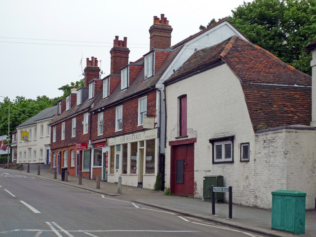
Image: © Ian Capper Taken: 4 May 2009
The first building on the right forms part of the Red Cross Inn (see Image). The remaining buildings were built around 1900, to replace some earlier ones which had partly collapsed in 1860 into a system of caves that riddle this area (for example see Image). To ensure that they were sound, they were built on girders. In the 1970s/80s one of the premises was occupied by a wine bar called "On the Rocks", with a seating area in one of the caves below. In 1987, London Road was closed while work proceeded to stabilise part of the cave system by filling them with sand and concrete.
Images are licensed for reuse under creativecommons.org/licenses/by-sa/2.0
Image Location
Latitude
51.23836
Longitude
-0.209753