Regent Street and jubilee Gardens, Rugby
Introduction
The photograph on this page of Regent Street and jubilee Gardens, Rugby by Andy F as part of the Geograph project.
The Geograph project started in 2005 with the aim of publishing, organising and preserving representative images for every square kilometre of Great Britain, Ireland and the Isle of Man.

There are currently over 7.5m images from over 14,400 individuals and you can help contribute to the project by visiting https://www.geograph.org.uk
Regent Street and jubilee Gardens, Rugby
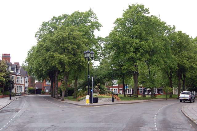
Image: © Andy F Taken: 13 May 2009
Jubilee Gardens was opened in June 1977 to commemorate the Queen's silver jubilee. The gardens are on the site of a pre-Roman fort built by the Dobuni tribe as a defence against the Coritani tribe who had a similar fort at Brownsover. The last remains of the fort were destroyed in the twelfth century.
Images are licensed for reuse under creativecommons.org/licenses/by-sa/2.0
Image Location
Latitude
52.3746
Longitude
-1.260799