Ward boundary marker, St Andrew's Hill
Introduction
The photograph on this page of Ward boundary marker, St Andrew's Hill by Keith Edkins as part of the Geograph project.
The Geograph project started in 2005 with the aim of publishing, organising and preserving representative images for every square kilometre of Great Britain, Ireland and the Isle of Man.

There are currently over 7.5m images from over 14,400 individuals and you can help contribute to the project by visiting https://www.geograph.org.uk
Ward boundary marker, St Andrew's Hill
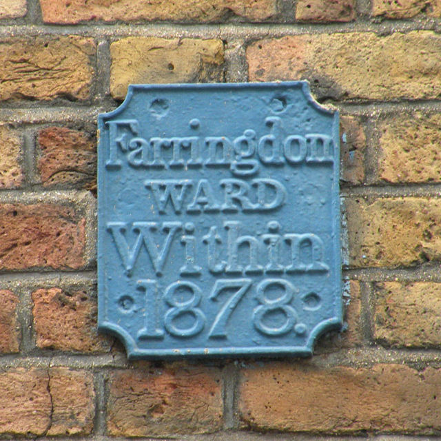
Image: © Keith Edkins Taken: 15 May 2009
Such is the dynamic nature of democracy in the City of London that this is still the boundary of Farringdon Within today.
Images are licensed for reuse under creativecommons.org/licenses/by-sa/2.0
Image Location
Latitude
51.513088
Longitude
-0.101319