Cycle path, West Burn
Introduction
The photograph on this page of Cycle path, West Burn by Richard Webb as part of the Geograph project.
The Geograph project started in 2005 with the aim of publishing, organising and preserving representative images for every square kilometre of Great Britain, Ireland and the Isle of Man.

There are currently over 7.5m images from over 14,400 individuals and you can help contribute to the project by visiting https://www.geograph.org.uk
Cycle path, West Burn
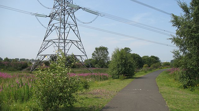
Image: © Richard Webb Taken: 25 Jul 2008
Former railway now being used by National Cycle Route 75. The land is currently unused, probably awaiting development.
Images are licensed for reuse under creativecommons.org/licenses/by-sa/2.0
Image Location
Latitude
55.824885
Longitude
-4.148716