Former Free Kirk
Introduction
The photograph on this page of Former Free Kirk by Anne Burgess as part of the Geograph project.
The Geograph project started in 2005 with the aim of publishing, organising and preserving representative images for every square kilometre of Great Britain, Ireland and the Isle of Man.

There are currently over 7.5m images from over 14,400 individuals and you can help contribute to the project by visiting https://www.geograph.org.uk
Former Free Kirk
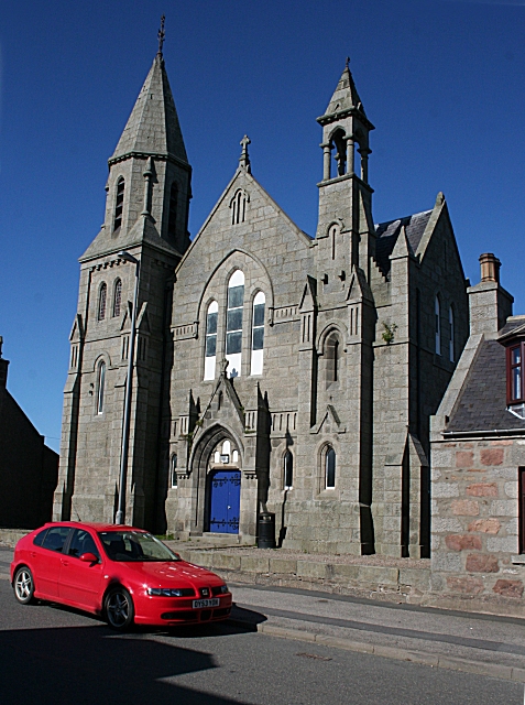
Image: © Anne Burgess Taken: 14 May 2009
This kirk seems to date from 1885, designed by Alexander Ellis and Robert Gordon Wilson. It is now owned by Aberdeenshire Council and serves as a community hall.
Images are licensed for reuse under creativecommons.org/licenses/by-sa/2.0
Image Location
Latitude
57.513484
Longitude
-2.193607