Near Knaps of Bedlam
Introduction
The photograph on this page of Near Knaps of Bedlam by Anne Burgess as part of the Geograph project.
The Geograph project started in 2005 with the aim of publishing, organising and preserving representative images for every square kilometre of Great Britain, Ireland and the Isle of Man.

There are currently over 7.5m images from over 14,400 individuals and you can help contribute to the project by visiting https://www.geograph.org.uk
Near Knaps of Bedlam
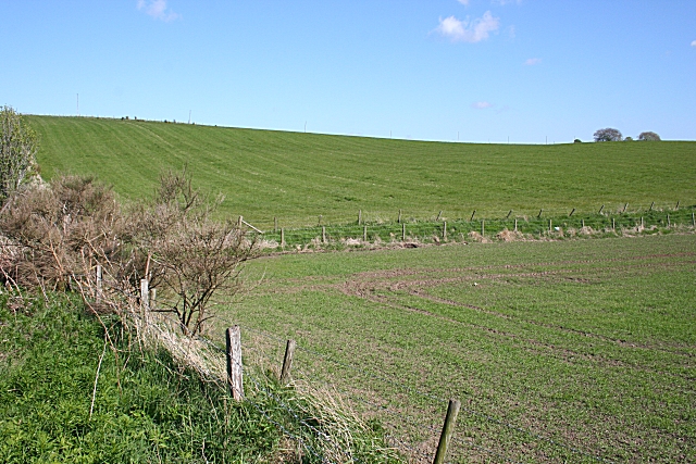
Image: © Anne Burgess Taken: 14 May 2009
Spring cereal has been sown in the foreground field, and the grass in the next one has been rolled, so is destined to become silage.
Images are licensed for reuse under creativecommons.org/licenses/by-sa/2.0
Image Location
Latitude
57.488929
Longitude
-2.214161