Burns Trout Fishery, Tarbolton
Introduction
The photograph on this page of Burns Trout Fishery, Tarbolton by Mary and Angus Hogg as part of the Geograph project.
The Geograph project started in 2005 with the aim of publishing, organising and preserving representative images for every square kilometre of Great Britain, Ireland and the Isle of Man.

There are currently over 7.5m images from over 14,400 individuals and you can help contribute to the project by visiting https://www.geograph.org.uk
Burns Trout Fishery, Tarbolton
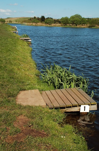
Image: © Mary and Angus Hogg Taken: 12 May 2009
Looking along the bank of the Main Loch, which is for fly fishing only. Viewed on a breezy day in May. Most of the fishermen were trying their luck in more sheltered spots of the fishery.
Images are licensed for reuse under creativecommons.org/licenses/by-sa/2.0
Image Location
Latitude
55.519117
Longitude
-4.49543