Towards Low Wardneuk
Introduction
The photograph on this page of Towards Low Wardneuk by Mary and Angus Hogg as part of the Geograph project.
The Geograph project started in 2005 with the aim of publishing, organising and preserving representative images for every square kilometre of Great Britain, Ireland and the Isle of Man.

There are currently over 7.5m images from over 14,400 individuals and you can help contribute to the project by visiting https://www.geograph.org.uk
Towards Low Wardneuk
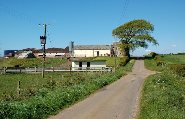
Image: © Mary and Angus Hogg Taken: 12 May 2009
The junction and the nearest farm outbuilding are in this square; the farm and the roadside tree are in the next one. To see this area at a different time of year, look at Image
Images are licensed for reuse under creativecommons.org/licenses/by-sa/2.0
Image Location
Latitude
55.527734
Longitude
-4.556984